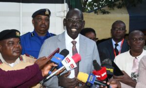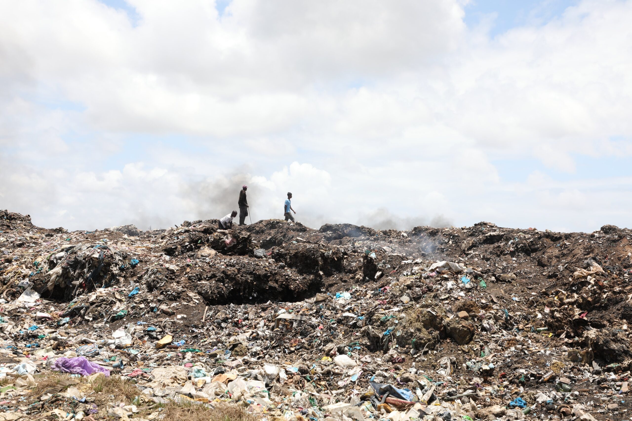
In a groundbreaking move to tackle waste management challenges, the National Environment Management Authority (NEMA) has partnered with the Humanitarian OpenStreetMap Team (HOT) to map dumpsites along the Nairobi-Athi-Galana-Sabaki water catchment. This ambitious project aims to identify both legal and illegal dumpsites, paving the way for innovative solutions to revolutionize solid waste management in the region.
The initiative is set to create a comprehensive Geographic Information System (GIS) database, which will serve as a critical tool for policymakers, environmentalists, and local authorities. By pinpointing the exact locations of dumpsites, the project will support the reengineering of waste management strategies in the catchment counties, ensuring a cleaner and healthier environment for residents.
One of the key focuses of the project is the Thwake Dam catchment area, where improved solid waste management is crucial for safeguarding water quality and ecosystem health. The GIS database will provide valuable insights into the distribution and scale of dumpsites, enabling targeted interventions to mitigate environmental degradation.
This collaboration between NEMA and HOT underscores the power of technology and community-driven mapping in addressing pressing environmental issues. As the project unfolds, it promises to set a new standard for sustainable waste management practices in Kenya and beyond.